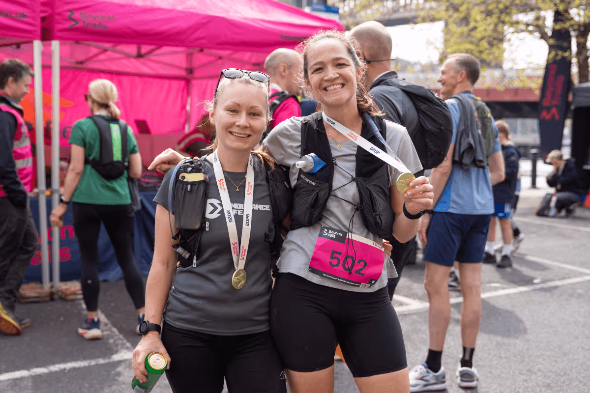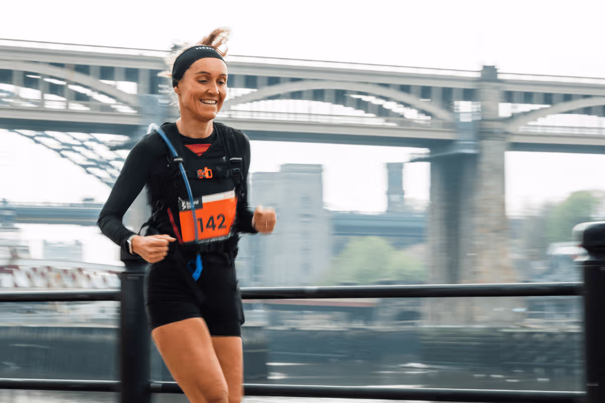
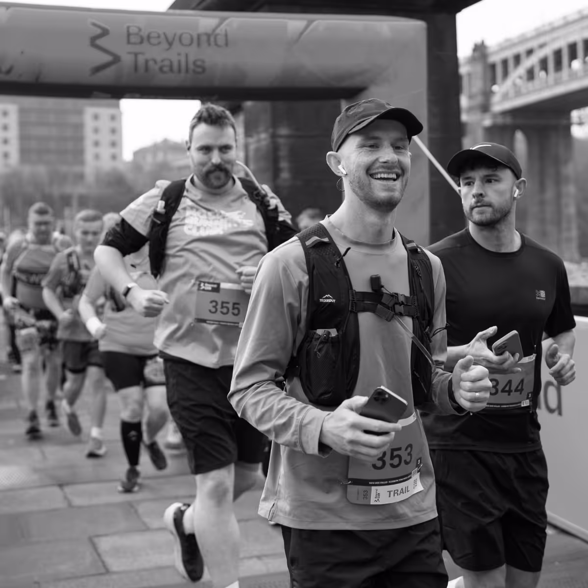

Beyond Newcastle is back on Saturday 25th April 2026, bringing you a Newcastle city-centre start, stunning trails, and a fully supported running adventure that takes you far beyond the ordinary.
Choose your distance, from a 25km Trail – a scenic and sociable route that’s great for all levels - or a 55km Ultra – a big day out for those ready to go the extra mile.
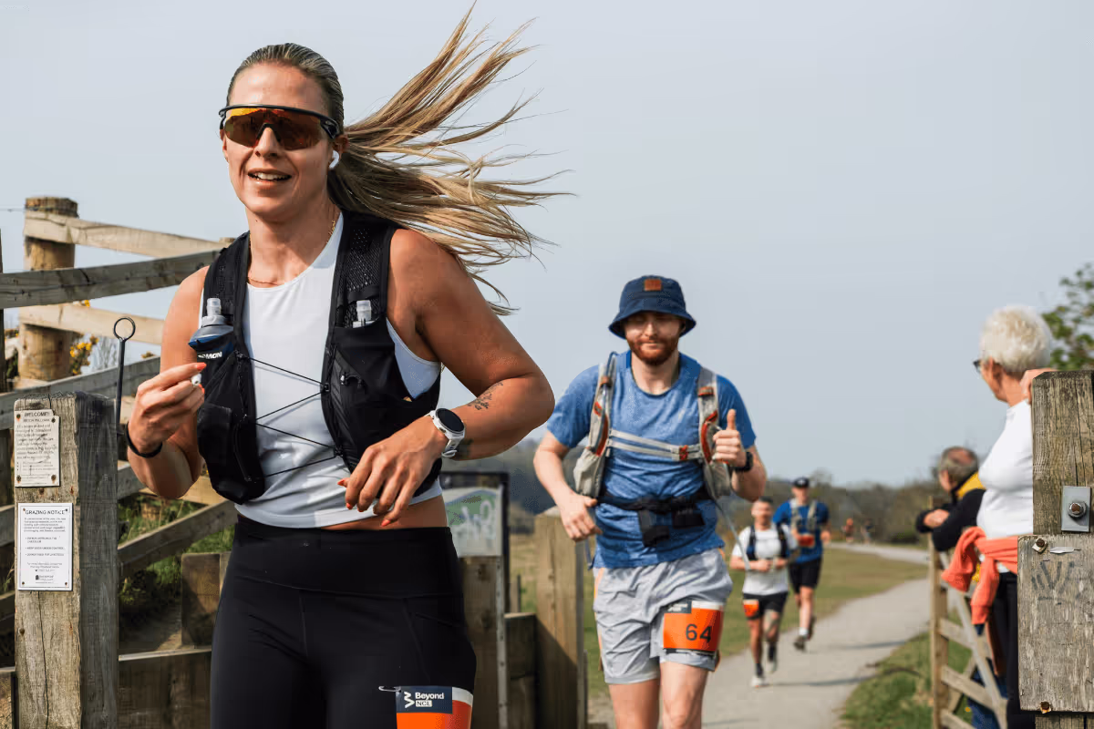
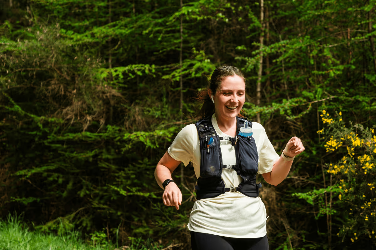
Both routes are fully signed and supported, with friendly marshals and feed stations along the way – so all you need to do is focus on the experience. Beyond Newcastle is open to everyone and designed to be as welcoming as it is exciting.
Distances
Choose your distance
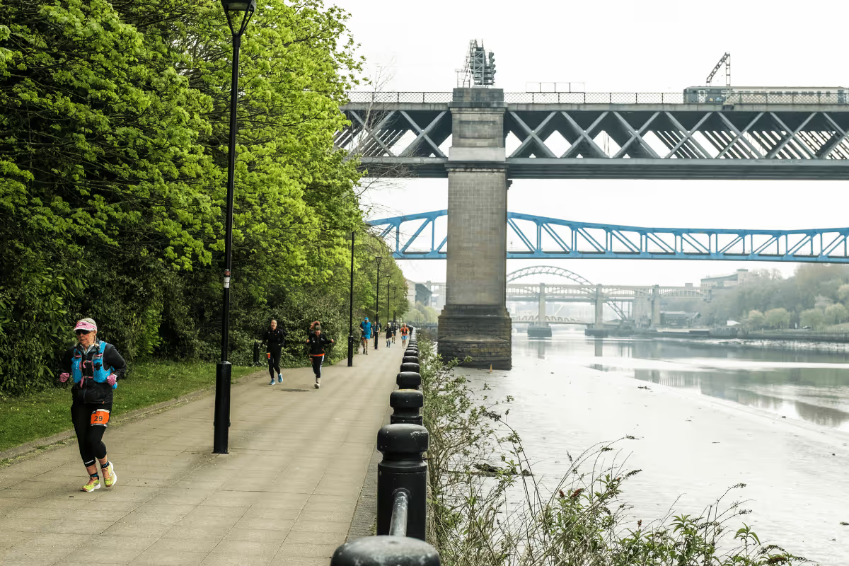
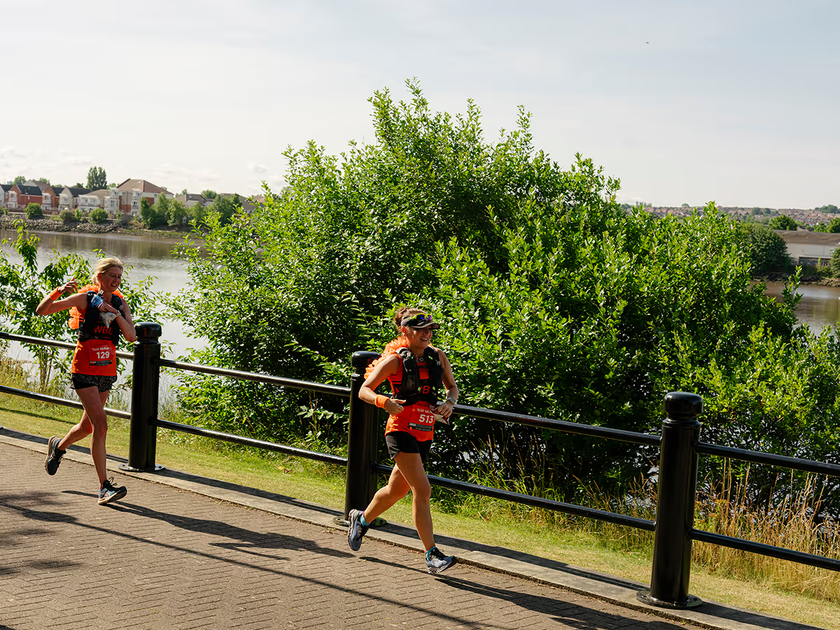
The 55km route travels along the River Tyne to Wylam, where runners cross over the River Tyne and follow back along the river to Derwenthaugh Marina. At the Marina, the route turns and follows along the River Derwent. On reaching High Spen, runners head into Chopwell Woods and on to Lintzford, before dropping into the Derwent Valley, heading back along the Derwent Walk and meeting the River Tyne again. For the final section, runners follow the river back to the finish point on the West path of the Swing Bridge, finishing on the Newcastle side. Claim your bragging rights here!
For the 25km route, runners start on the Swing Bridge and travel along the River Tyne. The route then crosses the Scotswood Bridge and heads back on the other side until it meets the Derwent River and then loops around Derwent Walk Country Park. Runners then head back along the opposite side of the Derwent River to the point where it meets the River Tyne, then follow the river to the West path of the Swing Bridge. Runners finish on the Newcastle side - perfect for a post run celebrations with plenty of options for food and drinks (and transport home).
Frequently asked questions
Is there an age limit for participants?
To enter Beyond Newcastle 55km you must be aged 20, or over. To enter Beyond Newcastle 25km you must be aged 18 or over.
What is included in my entry?
As well as entry into the event, your Beyond Newcastle entry includes; a finishers medal, chip timing, fully waymarked route & gpx route files to download, feed stations along the route with food and drinks and medical support.
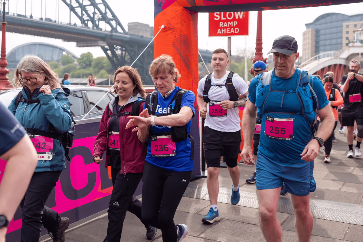
How do I get to the start?
Both 25km and 55km distances start on the Swing Bridge (West Path) on Newcastle Quayside. Public transport is the easiest way to get to the Beyond Newcastle start.
Where is the finish?
The finish is also at the Swing Bridge (West path) in central Newcastle.
Is the route fully marked?
There will be event-specific directional signs and confidence markers throughout the course. During the briefing before the race, participants will be shown the course markers to follow. GPX files can be download from the event page also – please ensure you download this and have this ready for race day as this will help you get back on track should you go off course.
Do I need a map?
There will be event-specific directional signs and confidence markers throughout the course. A sports GPS navigation device is recommended if you have one – and it is recommended that you download the GPX file of your route ready for event day. GPX files can be download from the event page.
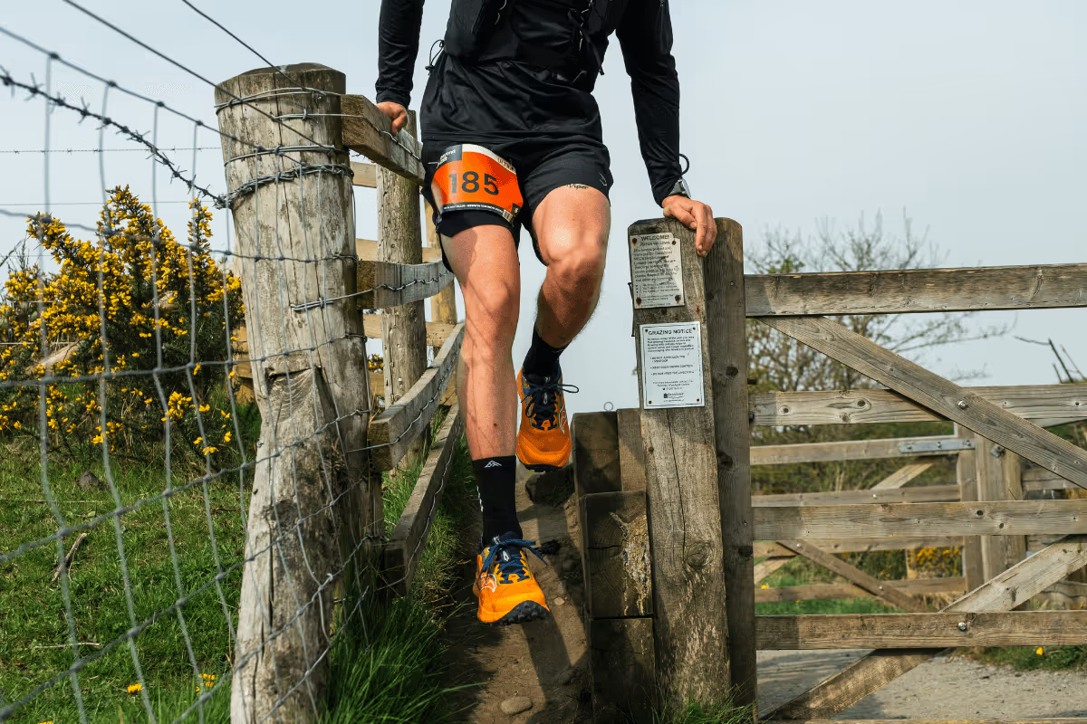
How tough is the course?
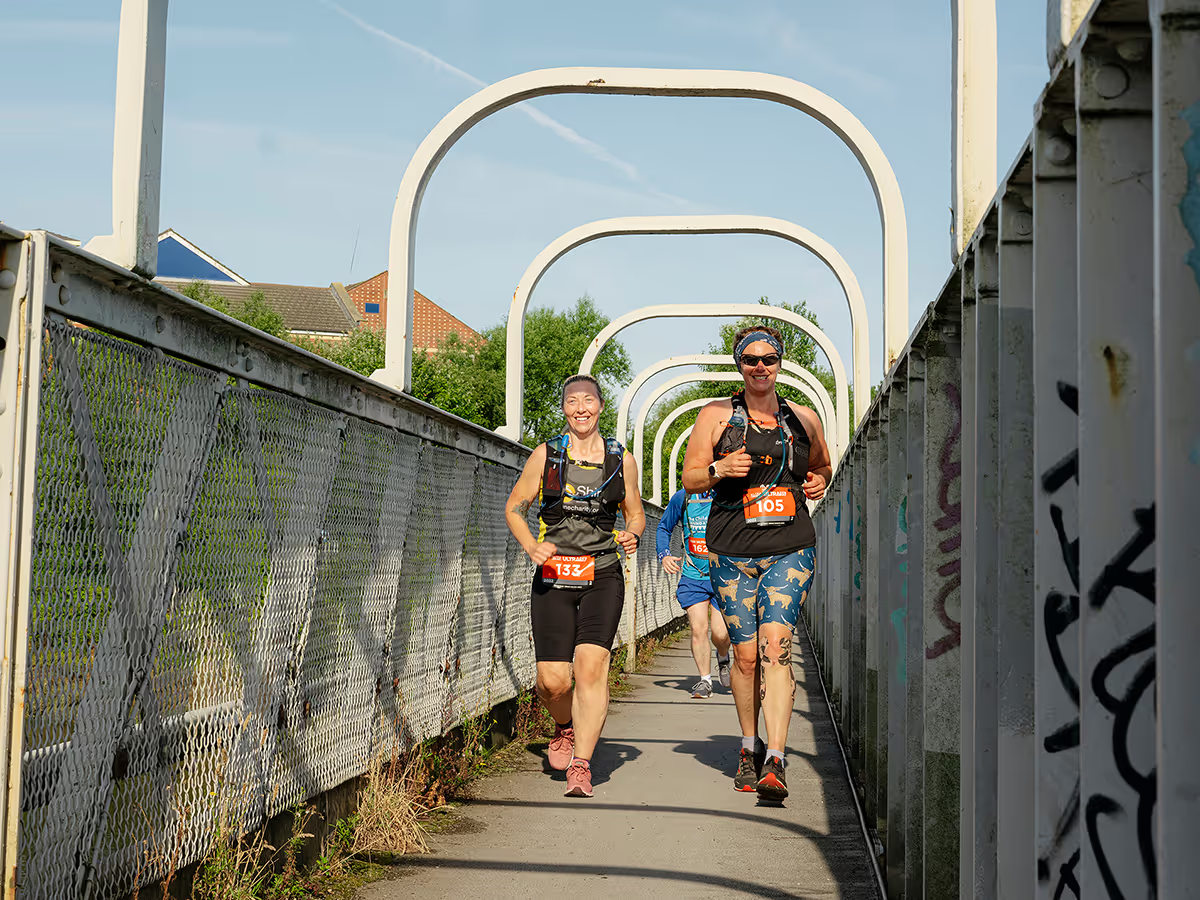
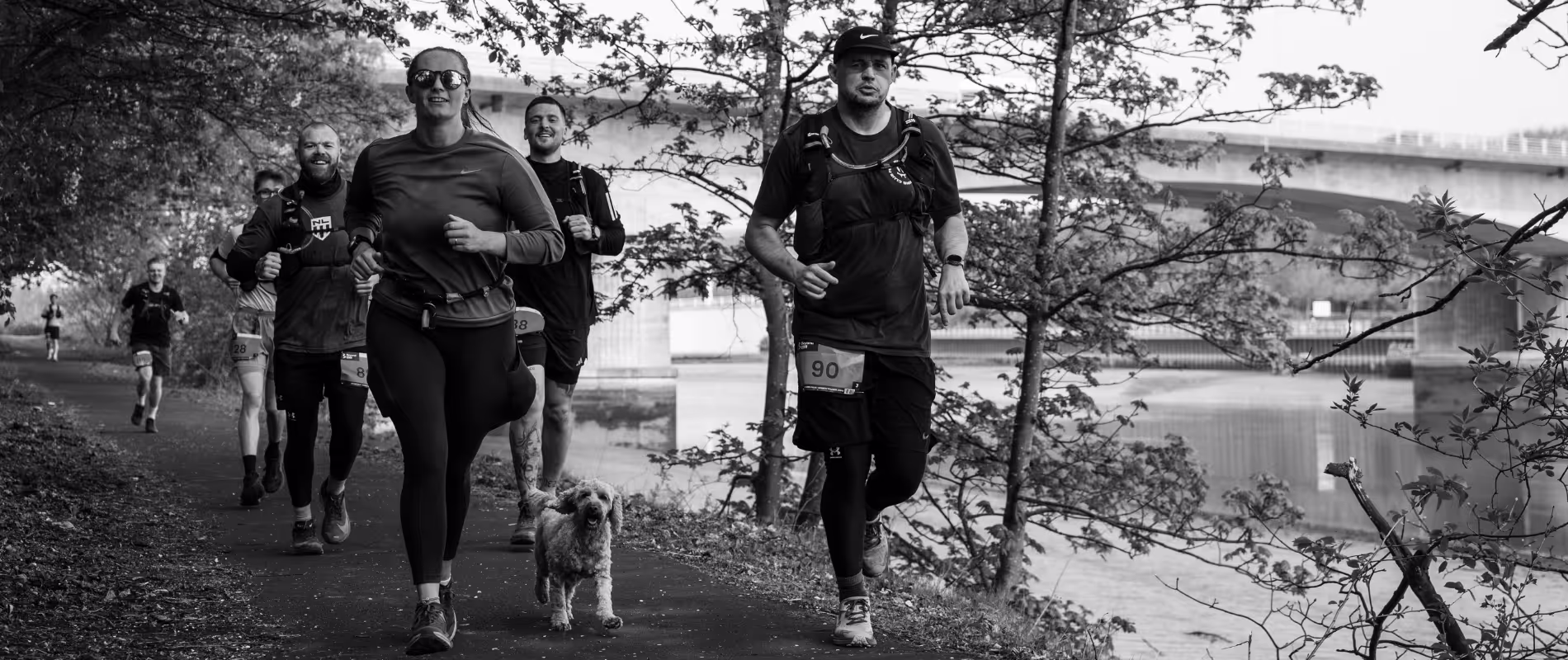
The course features a mixture of surfaces. You can expect the terrain to be a mixture of footpaths, parks, woodland trails, riverside paths and disused railway lines. There are also steps in places. Dependent on weather conditions parts of the route may be muddy. Whilst it is not mountainous, there are hills in places that will provide a challenge for participants. Downloading the GPX file will allow you to see the elevation of the route.
Are there cut off times?
Beyond Newcastle has strict cut off times that will be enforced. The cut off times are to ensure that all participants have completed the route by 19:30.
55k Cut Off Points
Cut off point 1: At Feed Station 2 (outbound route on the Derwent Walk - ///sticky.deed.learn) which is approx. 33km from the start. Any participant who has not passed this point by 14:40hrs will not be permitted to continue the route into Chopwell Woods.
Cut off point 2: At Feed Station 3 (return route on the Derwent Walk - ///sticky.deed.learn) which is approx. 44km from the start. Any participant who has not passed this point by 17:00hrs will not be permitted to continue.
25k Cut Off Points
Due to the 25k being within the 55k route, a cut off is not necessarily required, however based on Feed Station opening times see cut off as follows.
Cut off point 1: At Feed Station 1 (Derwent Walk - ///sticky.deed.learn) - which is approx. 13km from the start. Any participant who has not passed this point by 17:00hrs will not be permitted to continue.
Finish cut off time for both 25k and 55k: The final cut-off time is 19:30 at the finish line on the Swing Bridge. Participants must cross the finish line before this time to receive a finishers medal and have a recorded time. Sunset will be approx. 20.33hrs.
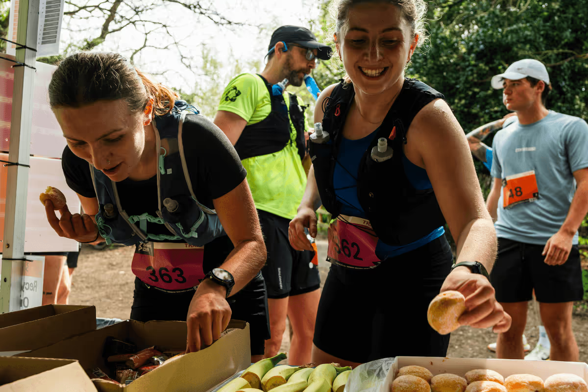
How many feed stations are on the route?
There are 3 Feed Stations on the 55km route, and 1 on the 25km route.
55km
Feed Station 1: Wylam Car Park (Tyne Riverside Country Park), approx. 15km from the start. What3Words location: ///reviews.drizzly.moped
Feed Stations 2&3: On the Derwent Walk. This is an out and back Feed Station so you will hit it first at around 32km and then again at around 44km . \ What3Words location: ///sticky.deed.learn
25km
Feed Station 1: On the Derwent Walk and will be shared with the 55km participants, approx. 13km from the start. \ What3words location ///sticky.deed.learn
How do I use my GPX route file?
To use your Beyond Newcastle GPX file, simply select “Download GPX File” on our website via your laptop or smartphone. You will then need to add the downloaded file to either your running watch or your phone via an app. The most popular ones are Strava, Garmin and Komoot, for example. Import this GPX file to your chosen app. The steps will vary depending on the app you’ve selected but you should be able to find an “Upload activity” or “Import route” option.
If you are having trouble importing the GPX route file into an app on your Phone, please refer to the help/FAQ section in your chosen app for help. Generally, GPX file import uses the 'Copy to Explore' (iOS), or 'Open with Explore' (Android) method to open in your chosen app on a mobile device once the file is downloaded.
iPhone users please note - the "share" function and "Copy to Explore" may not be available to users after the release of iOS 13 and later updates. If you do not see "Copy to Explore" contact Apple Support or use another method to import your GPX file. If you are having issues on a Garmin device, please refer to the instructions on importing a GPX file on a Phone here.
What type of shoes should I wear?
We would recommend wearing either trail running shoes or road trail hybrid shoes.
How much of the route is paved/unpaved?
55km route is 73% paved, 27% unpaved, 25km route is 74% paved, 26% unpaved.